Sixteen stops in the order you actually drive them, from Carrickfergus Castle to the cliffs above Binevenagh — with honest timings and one, two and three-day versions.
The Causeway Coastal Route is one of the great drives anywhere, and the mistake almost everyone makes is trying to do it in a single day. Here it is stop by stop, in order, with an honest view of how long it actually takes.
Two days, not one. The road is 120 miles but it is a slow, twisting coast road with a stop every few minutes, and the drive alone is over three hours without getting out of the car. One day means seeing the Causeway and the rope bridge and very little else. Two days with a night in Ballycastle or Portrush is the version people remember.
Drive it west, from Belfast toward Derry. That puts the sea on your right the whole way, so the passenger gets the view and every layby is a left turn straight off the road rather than a right turn across traffic. It matters more than it sounds.
Book Carrick-a-Rede and the Giant's Causeway ahead. Both are timed-entry in summer and both sell out. The rope bridge in particular has a limited number of people on it at once, so turning up hoping is how you miss it. The Gobbins, if you add it, must be booked too.
The famous stops are not the best stops. The Causeway and the rope bridge are extraordinary and also busy. Torr Head, Murlough Bay and Kinbane are just as astonishing and you will often have them nearly to yourself. Build in at least two of the quiet ones.
Fuel and food thin out badly between Glenarm and Ballycastle. That stretch through the Glens is the emptiest part of the drive. Fill up in Larne or Glenarm and take something to eat, or plan a proper stop in Cushendall or Cushendun.
Torr Head road is not for everyone. The scenic loop over Torr Head is single-track, steep and has blind bends with drops. It is worth it in good weather and in a small car. In a campervan, in fog, or with a nervous driver, stay on the main road through Ballyvoy — you lose the view, not the trip.
1
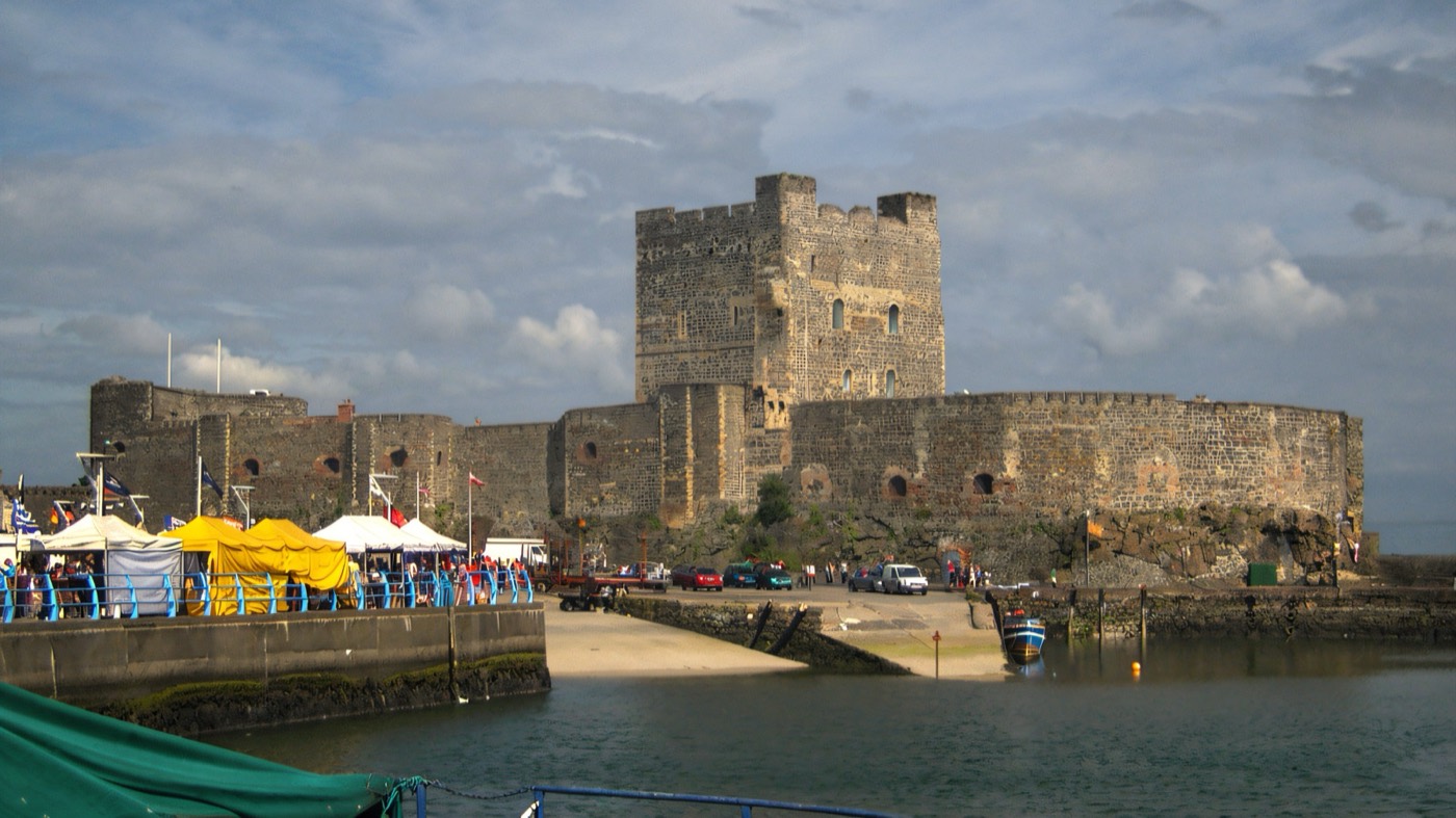
Carrickfergus Castle
Day 1 · Stop 1 · 20 minutes from Belfast
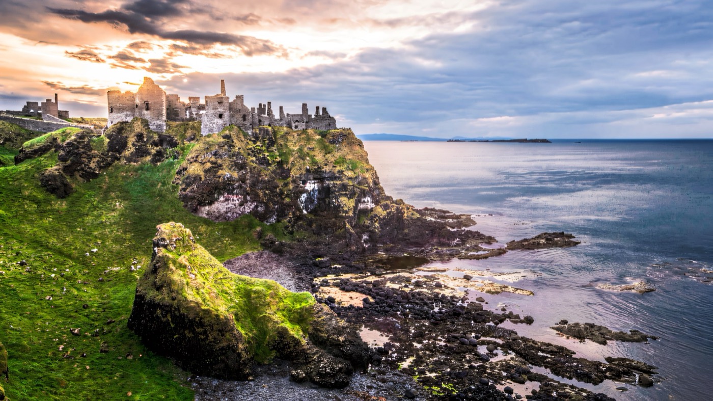
The proper start to the drive, and one of the best-preserved Norman castles anywhere in Ireland — eight hundred years old, sitting right on the edge of Belfast Lough with the water lapping the walls. An hour is plenty. If you would rather begin with a walk, The Gobbins cliff path at Islandmagee is fifteen minutes further on, but it is a booked, guided, three-hour commitment and it will eat your morning.
1 hourPaid entryEasy first stop — parking right beside it
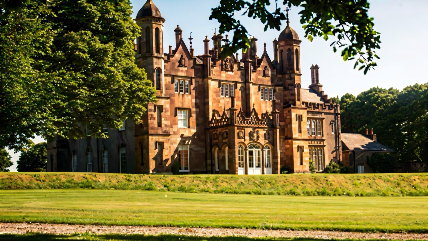
The Antrim Coast Road proper starts here, and Glenarm is the gentlest possible introduction to it. One of Ireland's oldest walled gardens, a tea room, and a village of painted houses below the castle. Take the food seriously — the stretch north through the Glens has very little until Cushendall, and the walled garden café is the last reliable stop for a good while.
1 – 2 hoursPaid entry to the gardenGood café — the last easy food for a while
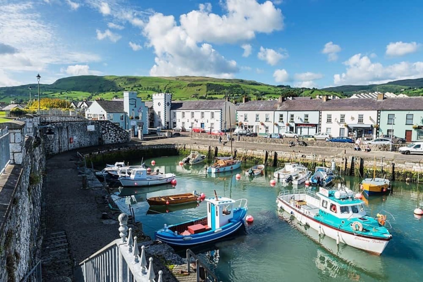
A tiny limestone harbour with a curve of sand beside it, and the kind of stop that takes twenty minutes and lifts the whole drive. Game of Thrones filmed here — the harbour steps stood in for Braavos — but the reason to stop is simply that it is lovely and it is right on the road. Ice cream, a walk on the sand, back in the car.
30 minutesFreeA short leg-stretch, not a long stop
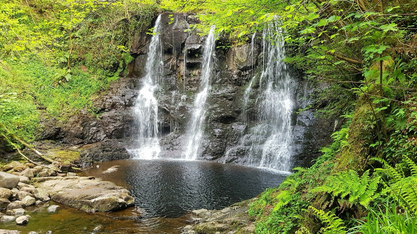
Day 1 · Stop 4 · inland detour, 15 minutes off the coast
The "Queen of the Glens", and the only inland detour on this list that earns its place. The Waterfall Walkway drops into a wooded gorge on boardwalks and steps past a run of waterfalls, and it feels nothing like the coast you have just been driving. Roughly an hour on the main trail. Wear something with grip — the boardwalk is permanently wet.
1.5 – 2 hoursCar park chargeThe one detour inland that is always worth it
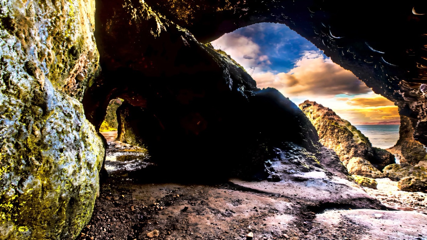
Red sandstone sea caves cut by four hundred million years of weather, a two-minute walk from the car park at the end of a National Trust village of Cornish-style cottages. Free, quick and much more dramatic in person than in photographs. Another Game of Thrones location, if that matters to anyone in the car. Cushendall a few miles back is the better bet for lunch.
30 – 45 minutesFreeFree, quick, and genuinely striking
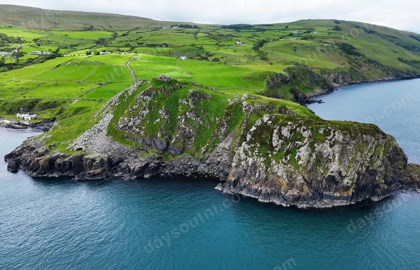
The best view on the entire route, and the one most people drive past. A single-track road climbs over the headland to a ruined lookout station where, on a clear day, the Mull of Kintyre sits twelve miles across the water and you can pick out individual fields in Scotland. The road is genuinely narrow with drops and blind bends — brilliant in a small car in good weather, a bad idea in a campervan or in fog. The main road through Ballyvoy is the safe alternative.
45 minutesFreeSingle-track, steep, blind bends — small cars only
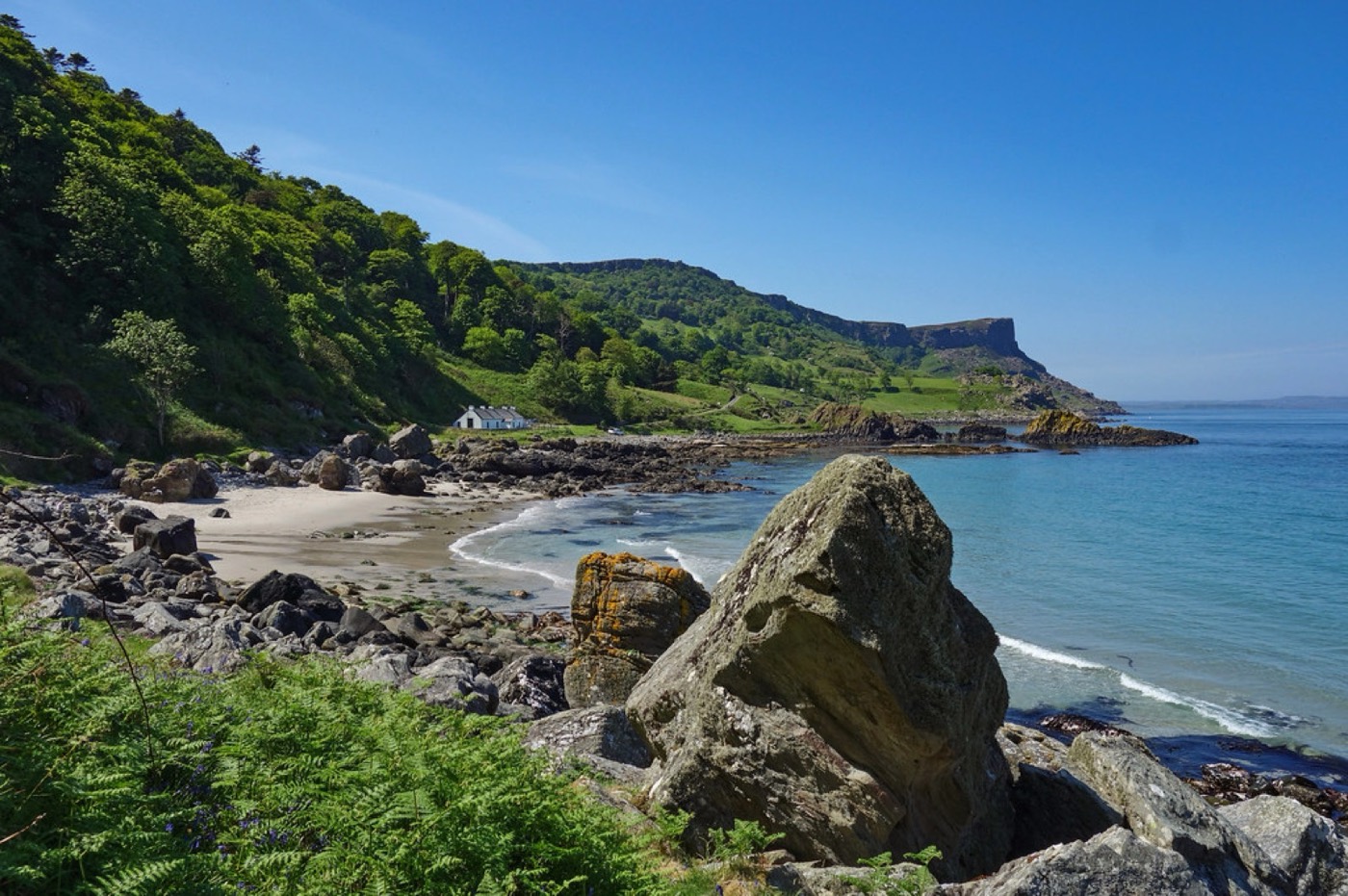
A hidden bay reached by a very steep, very narrow road that switchbacks down through woodland to a shore of green slopes, white chalk and extraordinarily blue water under the Fair Head cliffs. It is the quietest beautiful place on the whole coast. The road down is no joke — low gear, take your time — and it is worth every metre of it.
The halfway point and the obvious place to stay. A long sandy beach, a proper seafront, chip shops, and Rathlin Island sitting offshore with the ferry going back and forward. If you have a third day, Rathlin is how to spend it — puffins in early summer, the upside-down lighthouse, and almost no cars. Otherwise, eat, sleep, and start day two early to beat the Causeway crowds.
OvernightFreeThe natural place to stop for the night
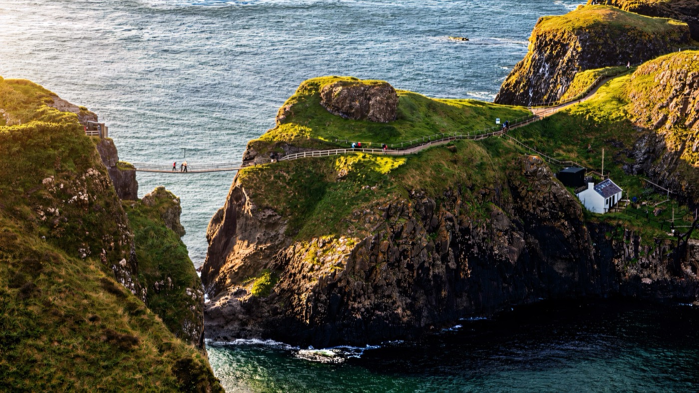
A rope bridge slung twenty metres above the sea to a tiny fishing island, and a mile of clifftop walking to reach it. The bridge itself takes seconds; the walk out and the views back along the coast are the real thing. It is timed entry and it sells out, so book before you set off, and take the earliest slot you can — this is the busiest place on the coast by mid-morning in summer.
1.5 hoursPaid · NT members freeTIMED TICKET — book before you travel
Day 2 · Stop 10 · five minutes down a hairpin road
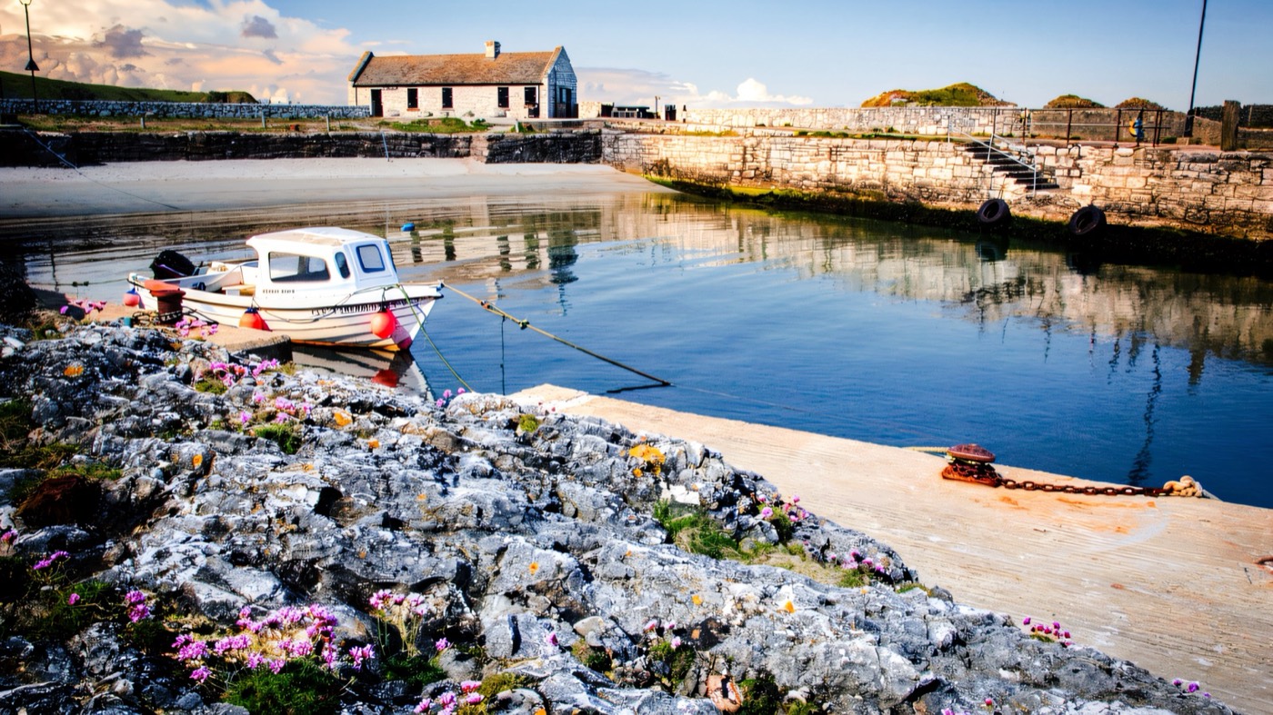
A working harbour at the bottom of a steep hairpin lane, ringed with weathered limestone stacks and rock pools. Free, usually calm, and the rock pooling here is some of the best on the coast for children. There is a small café at the harbour. Game of Thrones used it as the Iron Islands, which brings a certain amount of traffic, but it stays a genuinely working harbour.
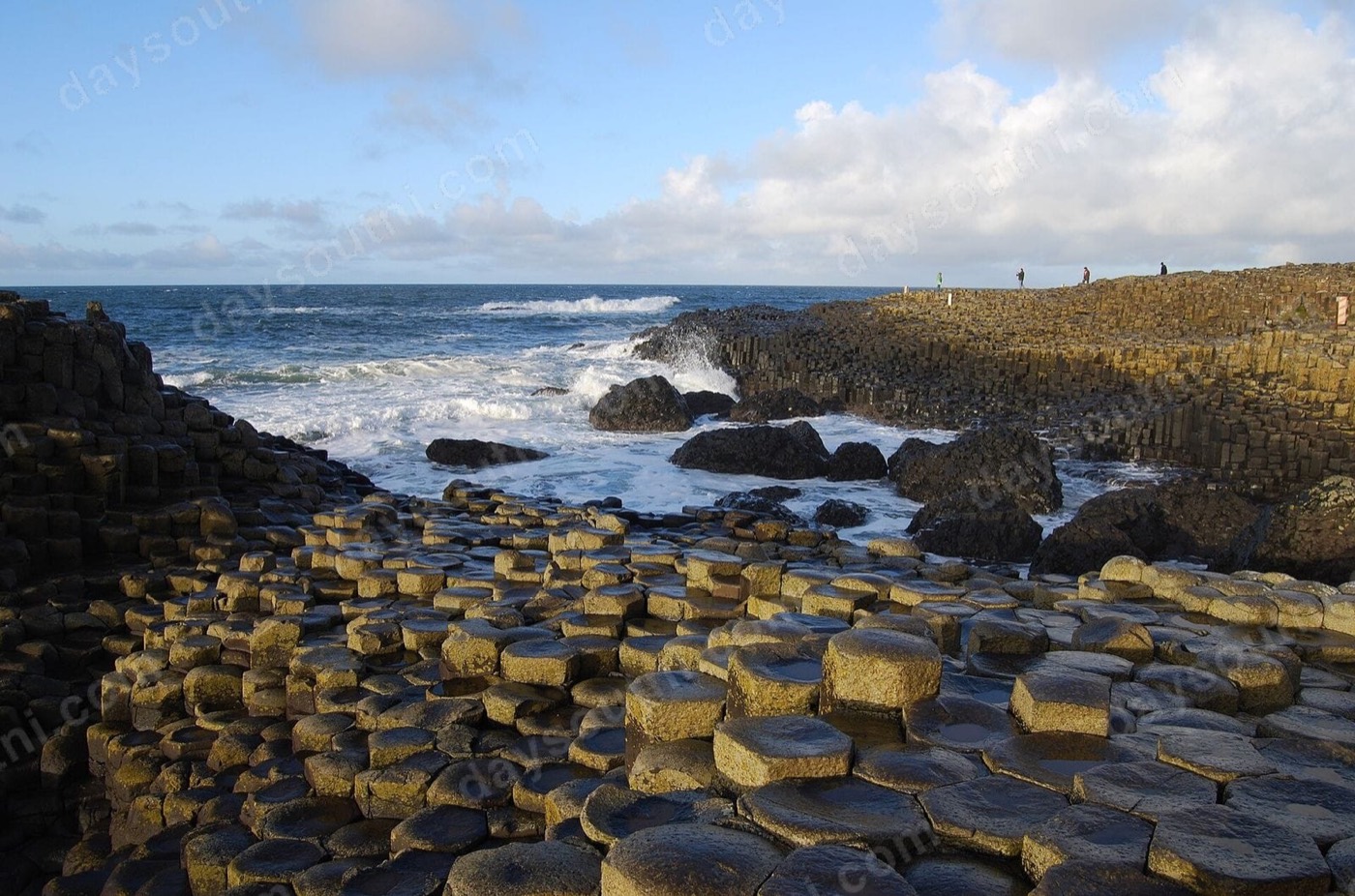
Forty thousand hexagonal basalt columns stepping down into the Atlantic, and the only UNESCO World Heritage Site in Northern Ireland. Worth knowing: the stones themselves are on a public right of way and free to walk to — what you pay for is the visitor centre, the parking and the shuttle. Go early or late in the day; between eleven and three in summer it is very busy. There is a shuttle buggy and all-terrain chairs to borrow if walking the hill is difficult.
2 – 3 hoursPaid visitor centre · NT members freeThe stones are free to walk to — the centre and car park are not
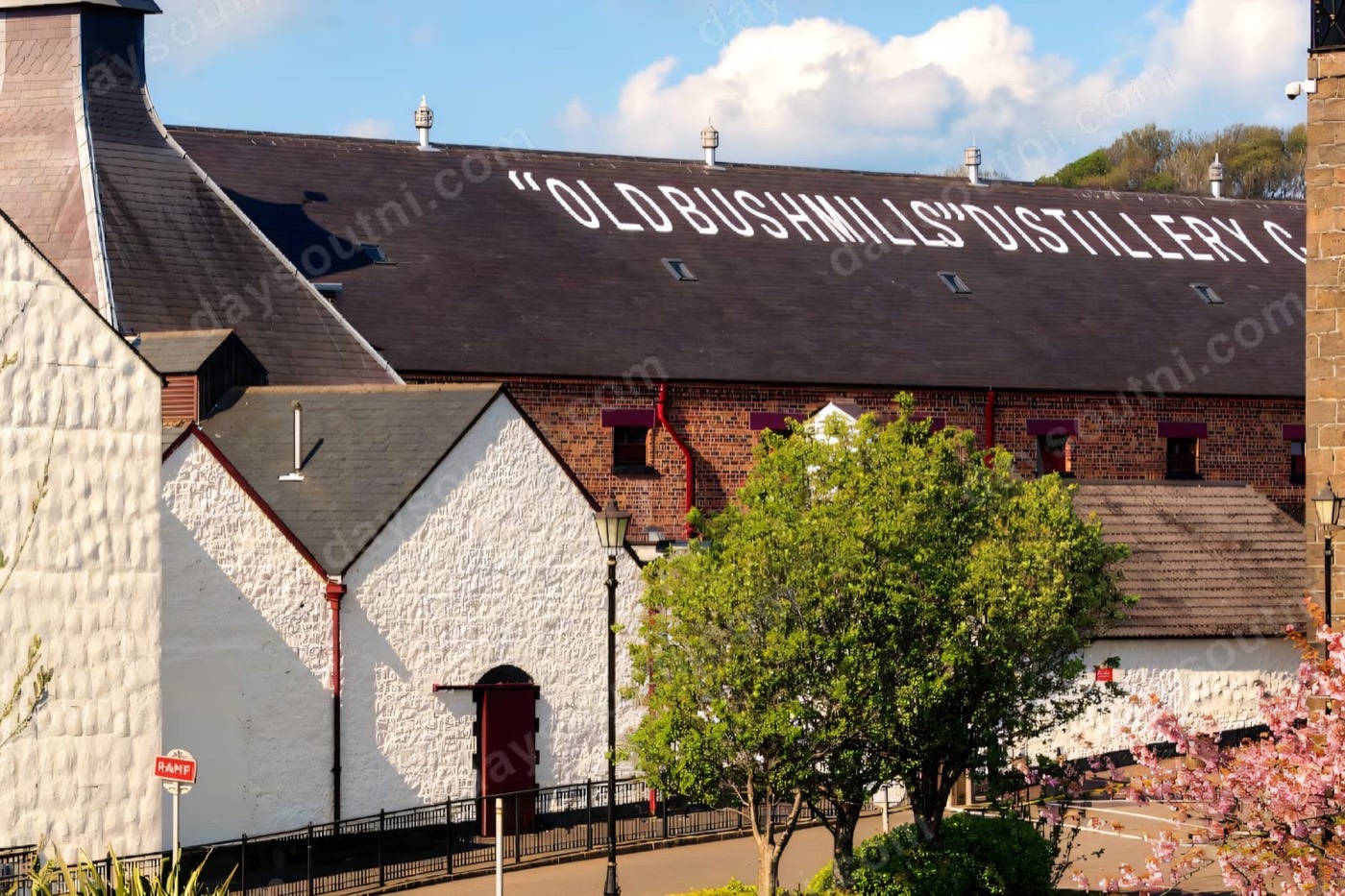
The oldest licensed whiskey distillery in the world, licensed in 1608 and still working. The tour is a proper working-distillery tour rather than a museum, which is why it is good. Obviously one for the adults, and someone has to drive — they will give the driver a sample to take away. If a distillery tour is not the plan, Bushmills village itself is the best lunch stop on this half of the route.
1.5 hoursPaid tourAdults — but the village is a good lunch stop for everyone
A ruined castle on a basalt stack with the sea on three sides and a drop straight into a cave below — the most photographed ruin in Northern Ireland, and it deserves it. Part of the kitchen genuinely fell into the sea in 1639. You can pay to walk round it, or simply pull into the layby just west of it, where the view of the whole thing from the coast road is free and arguably better.
1 hourPaid entry · free to view from the roadThe layby view is free and nearly as good
Day 2 · Stop 14 · two miles of sand you can drive on
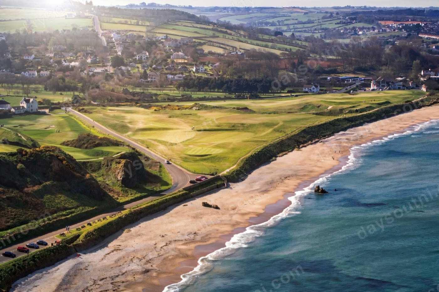
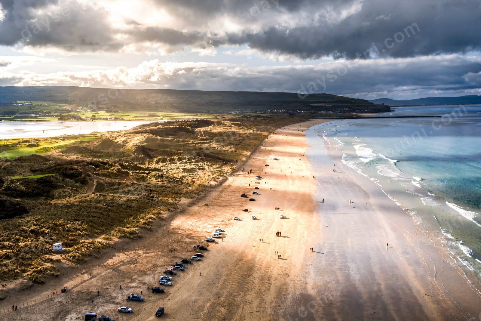
Two miles of sand backed by a huge dune system, and one of the few beaches in the country you can drive straight onto and park on the sand. That makes it very easy with small children — the car, the picnic and the windbreak are all right there beside you. It is a National Trust beach with lifeguards in season. Whiterocks and East Strand at Portrush, a few minutes back, are the alternatives if it is busy.
1 – 2 hoursCar park charge · NT members freeYou can drive onto the beach itself
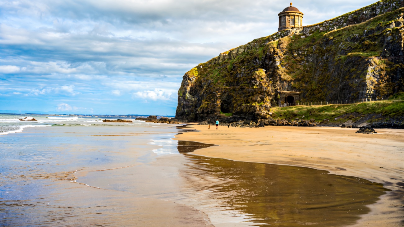
A small domed library perched right on the edge of a cliff, with Downhill Beach seven miles long below it and Donegal across the water. It is the single most recognisable view in Northern Ireland and it is better in person than any photograph manages. The demesne behind it — a ruined mansion, a walled garden, woodland — is worth the walk. It is a genuinely exposed clifftop, so mind small children in wind.
1.5 hoursPaid · NT members freeExposed clifftop — hold onto hats and children
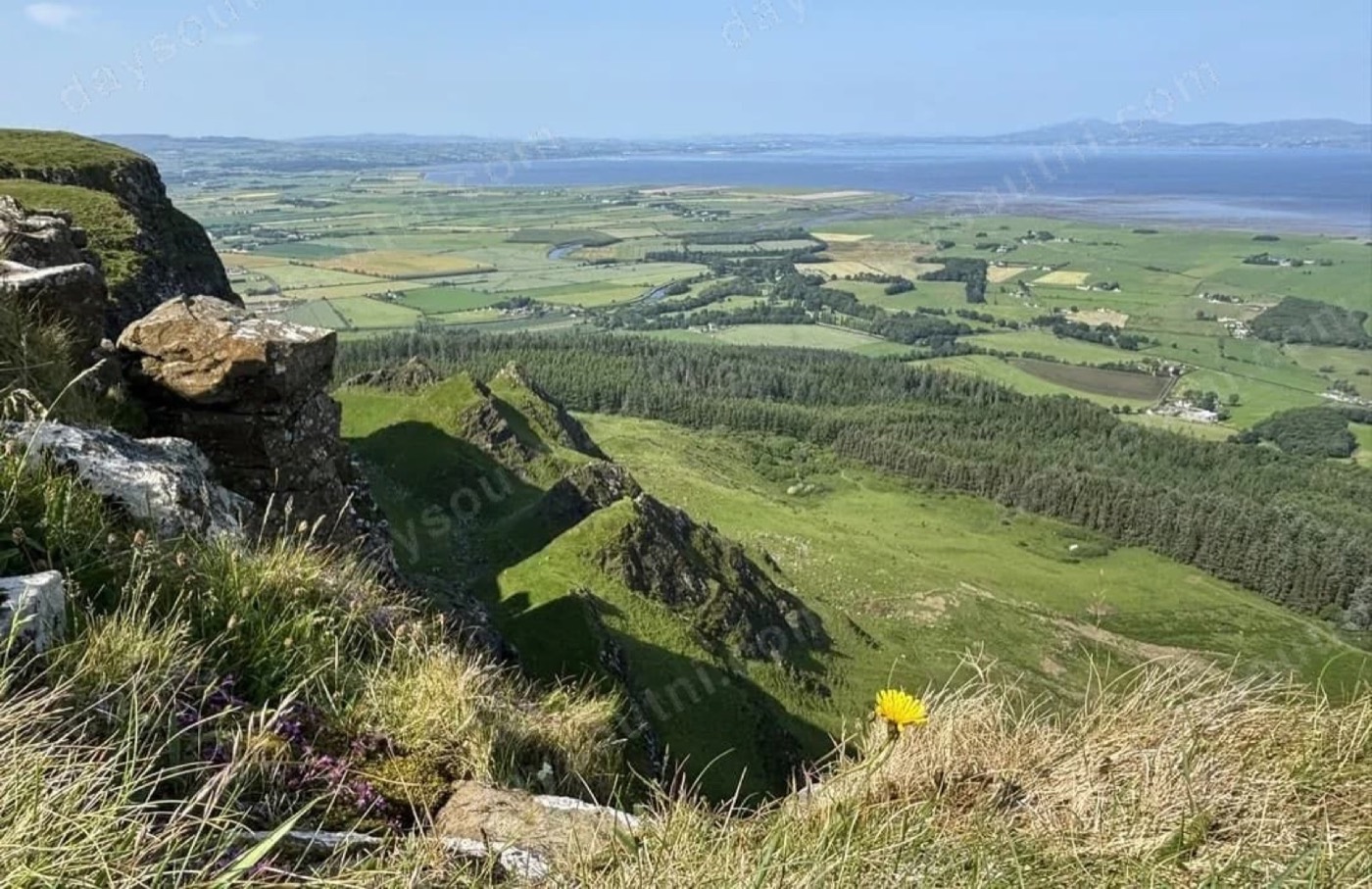
The last great view, and a quiet one. A basalt escarpment rising four hundred metres straight off the Roe Valley, with a small lake on top and the whole of Lough Foyle, Donegal and the Atlantic laid out below. You can drive nearly to the summit. Free, almost always empty, and the right place to stop before dropping down into Derry — where the walls, the Peace Bridge and the Bogside murals will fill whatever is left of the day.
Driving the Causeway Coastal Route: your questions answered
How long does the Causeway Coastal Route take?
The drive from Belfast to Derry is about 120 miles and over three hours without stopping. Realistically you need two days to do it properly, with a night in Ballycastle or Portrush. One day means the Giant's Causeway, the rope bridge and very little else. Three days lets you add Rathlin Island and the quieter headlands.
Which direction should you drive the Causeway Coastal Route?
West, from Belfast toward Derry. That keeps the sea on your left as you look out — the passenger side faces the water and every coastal layby is a left turn straight off the road rather than a right turn across oncoming traffic.
Do you need to book the Giant's Causeway and Carrick-a-Rede?
Yes, book both before you travel. Carrick-a-Rede is timed entry with a limited number of people allowed on the bridge at once, and it sells out in summer. The Giant's Causeway visitor centre and car park are also timed. The Causeway stones themselves are on a public right of way and free to walk to.
What is the best stop on the Causeway Coastal Route?
The famous ones are the Giant's Causeway and Carrick-a-Rede. The best ones are usually the quiet ones — Torr Head for the view across to Scotland, Murlough Bay for the colour of the water, and Binevenagh for the last view before Derry. All three are free and rarely busy.
Is the Torr Head road safe to drive?
It is single-track, steep and has blind bends with drops, and it is not suitable for campervans, large cars or nervous drivers. In a small car in clear weather it is one of the great drives in Ireland. If in doubt, stay on the main road through Ballyvoy — you lose that one view, not the trip.
Where should you stay on the Causeway Coastal Route?
Ballycastle is the natural halfway point on a two-day drive — roughly the midpoint, with a beach, a seafront and the Rathlin ferry. Portrush and Portstewart are the alternative if you would rather do a longer first day and a shorter second.
How many days have you got?
Pick your version in one line
One day? Do the western half only — these seven stops, from Carrick-a-Rede to Mussenden. Skip the Glens rather than rushing everything.
Two days? The full sixteen above, with a night in Ballycastle. This is the version worth doing.
Three days? Add Rathlin Island from Ballycastle, and give Derry a proper afternoon at the end.
Travelling with someone who cannot manage cliff paths? Carrickfergus, Glenarm, Carnlough, Portstewart Strand and Binevenagh are all drive-up or short-flat. See our accessible days out guide.
Keep exploring
Tap the button to load all sixteen stops into our free map — it works on your phone in the car, with directions to each one and everything else worth seeing nearby. Also worth a look: the best things to do on the Causeway Coast.